

Explore the Illinois River’s hidden gems, where vibrant communities, rich history and stunning natural beauty converge. From Joliet to Peoria, there’s plenty of charm, adventure and timeless allure within these riverside destinations.
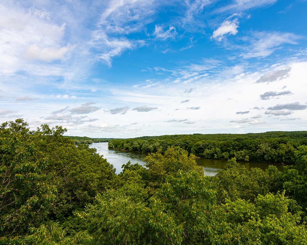
The Illinois River winds its way through a myriad of towns and cities, each with its own unique character and history. These communities have hosted American presidents, built canals and made vital contributions to our region’s rich history. The 273-mile-long river has been a vital component of our region’s economy, transporting goods and people for longer than our nation has been in existence. It’s also filled with vibrant destinations for day trips, vacations and weekend getaways.
This is a tribute to a tributary and the communities along its banks that make it as vital and vibrant today as it was centuries ago.
Joliet: Ready for Its Closeup
If you haven’t been to Joliet, you’ve probably still seen it on film or TV. Joliet Correctional Center, in particular, has appeared in a number of productions, the most famous being the hit comedy “The Blues Brothers,” where John Belushi’s character, Joliet Jake, is released from the prison only to end up right back where he started, belting out “Jailhouse Rock” with his brother and band at the end of the film.
Actually, this city landed on the map largely because of a tributary to the Illinois River. Joliet started as an important trading post where goods were shipped between Chicago or St. Louis. As Joliet grew into the state’s third-largest city, so did its reputation as a major shipping hub. Though its prominence in river shipping has waned, it’s now a draw for thousands of boating and fishing enthusiasts who pull into the city’s marinas and boat launches. Walleye, bluegill, smallmouth and largemouth bass can be found in abundance just off Joliet’s riverbanks.
The city also made significant contributions to the construction of the I&M Canal. The same limestone quarries that gave Joliet the nickname “City of Stone” were used in the building of many of the canal’s locks, bridges and aqueducts. The canal, in turn, made it easier for the city to ship its unique, bluish-tinged limestone to other cities throughout the region. This same limestone factors into many of Joliet’s local architectural treasures, including the corrections center and Joliet Union Station. Chicago’s Water Tower and Pumping Station, a famous Windy City landmark, is also made of Joliet limestone.
Ottawa: A River Runs Through It
Sitting at the hub of the Fox and Illinois Rivers in the heart of Starved Rock Country, Ottawa is a city that started as the end point of a busy portage route. Its roots are deeply steeped in the waters that surround it.
In the mid-1800s, Ottawa was a stop along the Illinois and Michigan (I&M) Canal, a 96-mile-long hand-dug engineering wonder that helped to spur the growth of Chicago as a major transportation hub. Ottawa is still home to the I&M Canal’s last existing toll house. A peek inside gives visitors a glimpse of 1848, a time when rope beds were the latest in comfort technology and handwritten ledgers, not Excel sheets, recorded the comings and goings of freight and passengers.
“This year marks the 175th anniversary of the I&M Canal,” says Donna Reynolds, tourism operations manager for the Ottawa Visitors Center. “It’s just one example of the incredible history that can be found here.”
The city of Ottawa has been part of a number of historic highs and lows, from the founding of the Boy Scouts of America to the tragic tale of the Radium Girls. Visitors who wish to immerse themselves in Ottawa’s history might want to book an outing with Awesome Ottawa Tours, a company that showcases Ottawa’s role in shaping the Midwest. Recently, Awesome Ottawa Tours teamed up with Sainte Genevieve Riverboat to offer a 2-hour guided tour of the Illinois River aboard the Sainte Genevieve paddlewheeler.
“Ottawa is a city filled with incredible history,” says Reynolds. “I’ve lived here all my life and I’m still always learning something fascinating and new.”
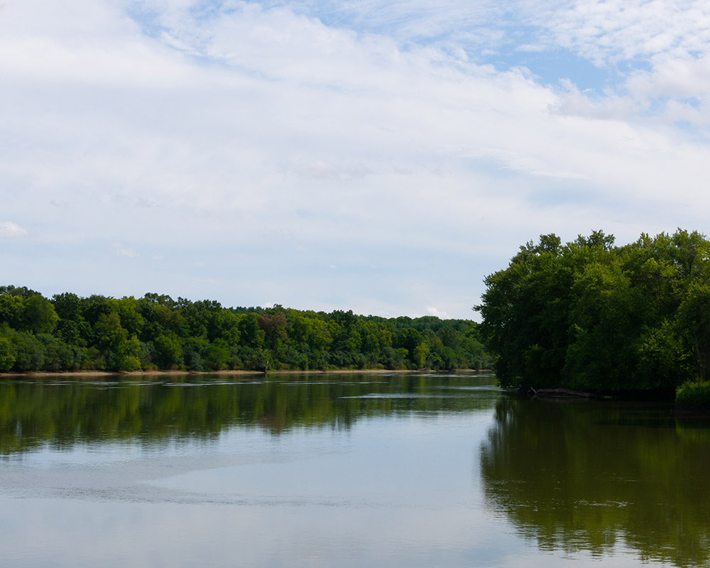
Starved Rock: Where History and Natural Beauty Meet
There’s a reason why Starved Rock State Park is visited by millions of visitors each year. Brimming with bluffs, moss-walled canyons, waterfalls and nature trails, the park represents the latest chapter in the area’s long history as a gathering place. Rising 125 feet from the Illinois River waterline, the craggy promontory that gives the park its name has seen many changes over the millennia.
“The Illinois River has always played a major role in the history of Starved Rock,” says Kathy Casstevens, marketing manager for Starved Rock Lodge, a historical log cabin-style hotel that sits in the heart of the state park. “Before French explorers set foot upon this land, Native Americans called it home for thousands of years.”
Members of the Illinois Confederation were the first known inhabitants here. They established villages and communities throughout the area, with the Illinois River playing a crucial role by providing transportation and trade routes.
The French found Starved Rock in the late 1600s and built Fort St. Louis, a strategically located but hard-to-defend fort that was abandoned in the early 1700s.
For the next couple of centuries, the area was a critical hub for barges and steamships. The limestone in nearby bluffs was quarried and sawmills popped up along the riverbanks.
“Even today, the Illinois River continues to be a major channel,” says Casstevens. “Barges pass through here transporting grain, coal and other products.”
In 1911, the State of Illinois purchased the land that surrounds Starved Rock and established Illinois’ first state park. In 1939, the Civilian Conservation Corps built Starved Rock Lodge, and the building today is often a starting and ending point for many state park visitors.
“From a recreational standpoint, the river is a destination and a source of fun,” says Casstevens. “For so many reasons, we need to preserve and protect this waterway for future generations to enjoy.”
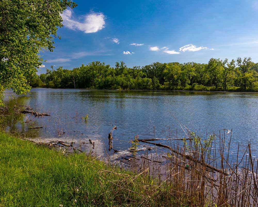
Utica: Slow Down and Take in the Sights
Just across the river and a smidge west sits Utica, a pastoral village that thoroughly charms visitors with its natural beauty and small-town vibe. Filled with opportunities for outdoor fun and bursting with history, Utica is a popular destination for visitors who are looking for fun but aren’t in a hurry.
With direct access to the Illinois River, North Utica’s marinas and boat launches make it a popular choice for recreational boaters and anglers. The wetlands and marshes along this area also make Utica a great location for birdwatching, with white pelicans congregating in the springtime and bald eagles swooping into the river in the winter.
“The Illinois River is a big part of our industry in Utica,” says Amanda Carter, events coordinator and museum manager for the LaSalle County Historical Society. “It is still used today for shipping and, with the town being located less than a quarter-mile from its shore, the river is a big contributor to our tourism industry.”
The LaSalle County Historical Society’s campus is right in the heart of Utica, on both sides of the I&M Canal. There are six buildings on the campus, including the canal warehouse which, like the canal itself, turns 175 years old this year.
“Utica is rooted in its history,” says Carter. “We have a leisurely atmosphere here and it’s a very walkable town. People start feeling relaxed and at home as soon as they arrive.”
Princeton: Easy to Reach, Hard to Leave
Princeton is a destination of choice for many Chicago and Quad Cities denizens looking for a getaway that isn’t far away. Accessible via the Amtrak rail system and an easy drive for anyone on Interstate 80, Princeton is a quaint city of around 8,000 people with more than 200 acres of parks, two town squares and a vintage atmosphere filled with architectural treasures that make visitors wonder if they’ve been whisked back in time.
While the Illinois River is located about 10 miles west of Princeton, a tributary of the river called Big Bureau Creek runs just a mile or so away. Straddling the creek is one of Princeton’s most beloved landmarks, the Red Covered Bridge. Spanning 149 feet, the Red Covered Bridge is Illinois’ only remaining covered bridge of its era that is still open to traffic. The bridge was built in 1863 at a cost of just under $3,200 (about $116,000 today) and was originally part of the Peoria-Galena Coach Road, a wagon trail that would become the first state road in northern Illinois. The Red Covered Bridge has secured a place on the National Register of Historic Places and is a favorite destination for picnickers, sightseers and photographers searching for rustic beauty.
Did you know this portion of the Illinois River also played a role in ending slavery in America? Owen Lovejoy, a lawyer, congressman, pastor and abolitionist, spoke publicly against slavery and organized anti-slavery Congregational Churches throughout the state. Like many abolitionists with riverside homes, he opened his homestead near Princeton to the Underground Railroad. The Owen Lovejoy Homestead is now a national historic landmark and is open for visitors who wish to investigate the hidden alcove above the main staircase, where Lovejoy concealed escaped slaves on their way to freedom.
Peoria: It Plays Here
Sitting on the bank of the Illinois River, surrounded by lush rolling hills and green forests, is Peoria, the seventh-largest city in the state. Visitors to this modern, bustling city won’t be there long before they notice how Peoria wears its deep connection to the river on its sleeve.
“The Illinois River is the main reason why people live and work here,” says JD Dalfonso, president and CEO of Discover Peoria. “Through archaeological digs, we know that people have been living here for over 10,000 years. That’s because of the river and all it has to offer.”
Peoria’s location at a wide point in the river makes it a natural hub for transportation, commerce and recreation and is the reason why the city is the oldest European settlement in Illinois. The river connected the city and its people to markets throughout the Midwest. Canoes have since given way to steamboats, which have in turn given way to barges, carrying everything from coal and timber to passengers, hogs and cattle.
The river has also played a crucial role in the deep, fertile soil that can be found around Peoria. The sediments and nutrients that have been deposited here have created a rich Mollisols soil that is ideal for corn, soybeans and other crops. One look at the surrounding festivals in the area, like the Pekin Marigold Festival, the Morton Pumpkin Festival and the Tremont Turkey Festival, shows just how important farming is to this portion of central Illinois.
“All of these festivals, as well as Steamboat Days here in Peoria, are a testament to the importance of the river,” says Dalfonso.
Peoria also boasts a thriving downtown filled with local shops, attractions and restaurants. The Peoria Civic Center, one of the downtown’s main drivers, is home to the city’s basketball and hockey teams and hosts Peoria’s symphony orchestra, ballet company and touring Broadway productions.
“The Civic Center gives us plenty of opportunities to showcase Peoria’s hospitality,” says Dalfonso. “And during the summer months, our riverfront is a great place to go for live music and cultural experiences.”